Nobody pays to be in this guide. No advertising, no sponsored listings, no paid placement, and no way for a business to buy its way in, up, or out. You pay for it, so it works for you rather than for whoever bought the top of the page.
It is put together by people who live here year round, checked against what each business publishes about itself, and corrected by the people who use it.
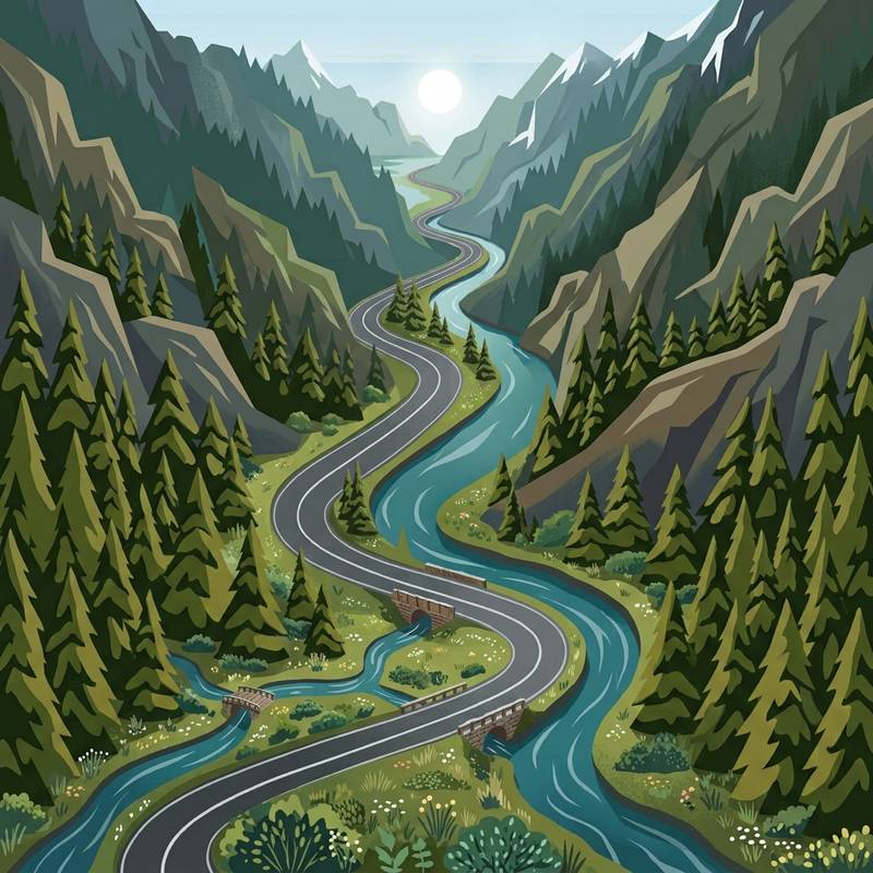
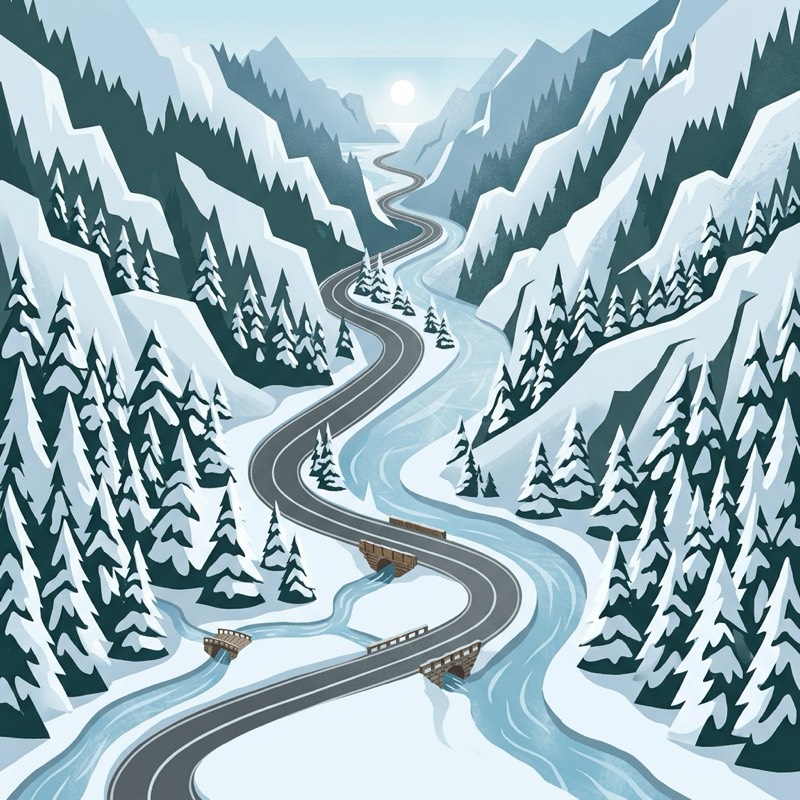
Winter or summer, Big Sky is a place of natural wonder and luxury fun.
What is actually open
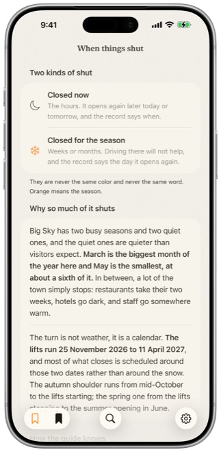
A resort town empties twice a year. Places close for a month, or for three. The usual sources for maps and business information don't handle this well. The Field Guide is built around it and every other peculiarity unique to Big Sky.
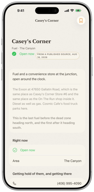
Every fact in the guide carries a source and a date, and the app tells you which one you are looking at:
- Checked in person, 12 October
- From their own page, 3 June
- Hours unknown, call ahead
A confident wrong answer is worse than an admitted gap.
We try very hard to keep you from disappointing surprises and point out the pleasant ones.
Big Sky is more complex than it looks
Mountain Village and Moonlight Basin sit at 7,500 feet at the foot of Lone Peak, which tops out at 11,166 feet. Meadow Village and Town Center are the walkable part, holding most of the restaurants, the shops, the movie theater, the ice rink, and the rodeo grounds and music venues at 6,300 feet. Trails and ski areas run across more than 4,000 feet of vertical terrain.
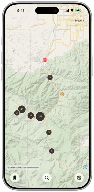
The Field Guide contains a unique custom 3D tourist map of the entire valley. This is a fantastic tool for getting your head around the geography and the different areas that make up Big Sky as a whole. It also has a top down conventional map with the locations of all the points of interest the guide contains, and will link you straight out to navigation in your driving map of choice, to web sites, to phone calls and more.
We're here to help you plan ahead, and then to navigate your trip.
It works with no signal
About eighteen miles of the Gallatin Canyon has zero cell coverage. That is just a fact of geography and not likely to change any time soon. There are also plenty of spots hiking, biking or skiing where signal can't get to you.
When that happens online info doesn't exist. A guide already on your phone still lives.
The whole guide and the whole map live on the device before you go out the door. Nothing you search or read waits for the network, including the map. There is one small exception: pictures of places are mostly loaded on demand so they don’t take up a bunch of space on your phone, and videos are streamed.
What it looks like
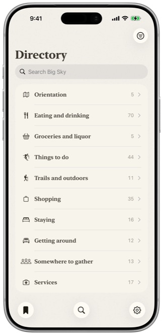
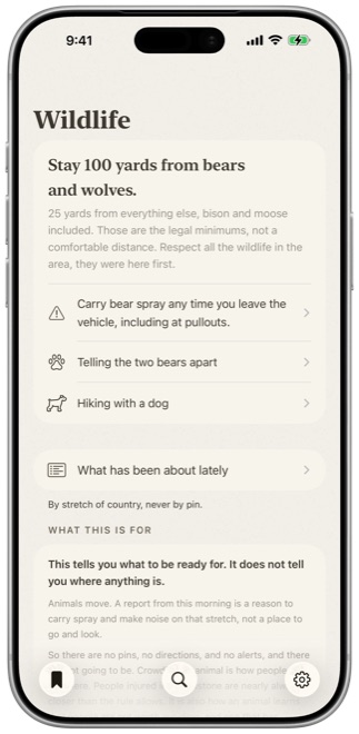
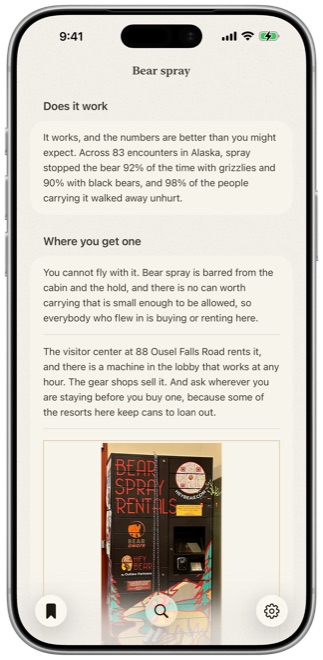
Seven screens out of the app itself.
What it costs
Free to browse. $19.99 a year for the rest. The directory, the map, the orientation, and the wildlife safety content are free and work offline. $19.99 buys the depth: verified hours and season, where to buy a ticket and how far ahead, trails with their parking, and Yellowstone highlights, tips and suggested itineraries from people who visit it all the time year round.
It renews once a year. No account. And content updates are free and fast.
That money pays for the coding, content, and servers, and two sweeps a year that check every listing on the ground. That's the entire business, and it's the reason the guide can be your comprehensive neutral source nobody paid to be in.
What it is not
Not affiliated with Big Sky Resort, with the Chamber, or with any business it lists.
No marketing fluff, no paid placement, nothing deliberately pushed to the top or buried.
It is an independent guide.
Try the beta
The app is in beta now, try it out! It's free to testers, it comes through Apple's TestFlight, and setting that up takes about two minutes. We really value your feedback, about the app, about the information, everything.
It ships to the App Store when it is ready to make your time in Big Sky that much better.